Bottom line: Several online resources help you make an educated guess about wildfire smoke and air quality for your through hike of the Enchantments.
First off, hiking in unhealthy smoke is never a good idea.
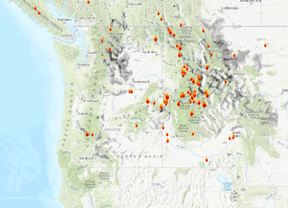
Note: The map shown above is a snapshot and does not represent current conditions. Read on to find a link to that map and more.
Here are some online resources for researching Northwest smoke and air quality levels for your through hike of the Enchantments.
Smoke and air quality index sites
AirNow (US EPA). Map of air quality monitors. (Leavenworth, the closest, is Zip Code 98826.)
AirFire (USFS). Maps of 24-72 hour smoke forecasts. Scroll to “Northwest,” then in the “Today” column, click “MAP” for any of the available models. It can be useful once you learn your way around.
The Enchantments weather forecast is a useful tool, as well.
Web cams
Leavenworth downtown webcams provide a visual clue. The golf course camera is nearby.
Facebook groups
Social media sites include posts of trip reports and photos by hikers who have recently through-hiked the Enchantments. The best of these in my opinion is the “Enchantments Hiking and Backpacking” group.
How to prepare for smoke while on a day hike in the Enchantments
The best preparation for smoke is to carry one N-95 face mask per person. The kind with a ventilator valve are best because you don’t have to rebreathe your exhaled air.
Want a smokin’ hot domain and web site to get started with your outdoor adventure blog?
